Visualize buildable potential, zoning constraints, and land use trade-offs instantly—so you can guide decisions with precision and speed.
Visualize buildable potential, zoning constraints, and land use trade-offs instantly—so you can guide decisions with precision and speed.

What Slows Down Informed Planning
Zoning bylaws, overlays, and development policies are spread across disconnected systems and PDF documents.
Evaluating build capacity and land use across multiple lots requires time-consuming modeling and spreadsheet work.
Comparing feasibility, density, or policy alignment between sites is difficult without an integrated, visual planning tool.
We help urban planners assess zoning, land use, and policy fit—faster and with full context.
All regulations, layered and ready to explore.
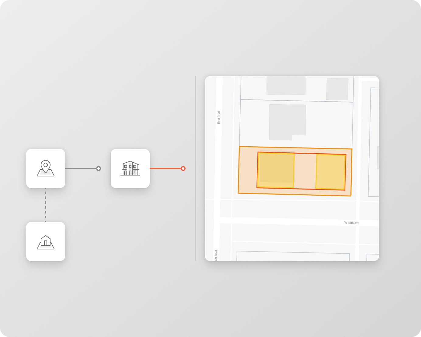
View zoning bylaws, overlays, and incentive areas in one interactive map—no more jumping between PDFs and GIS tools.
Test what fits—without modeling from scratch.
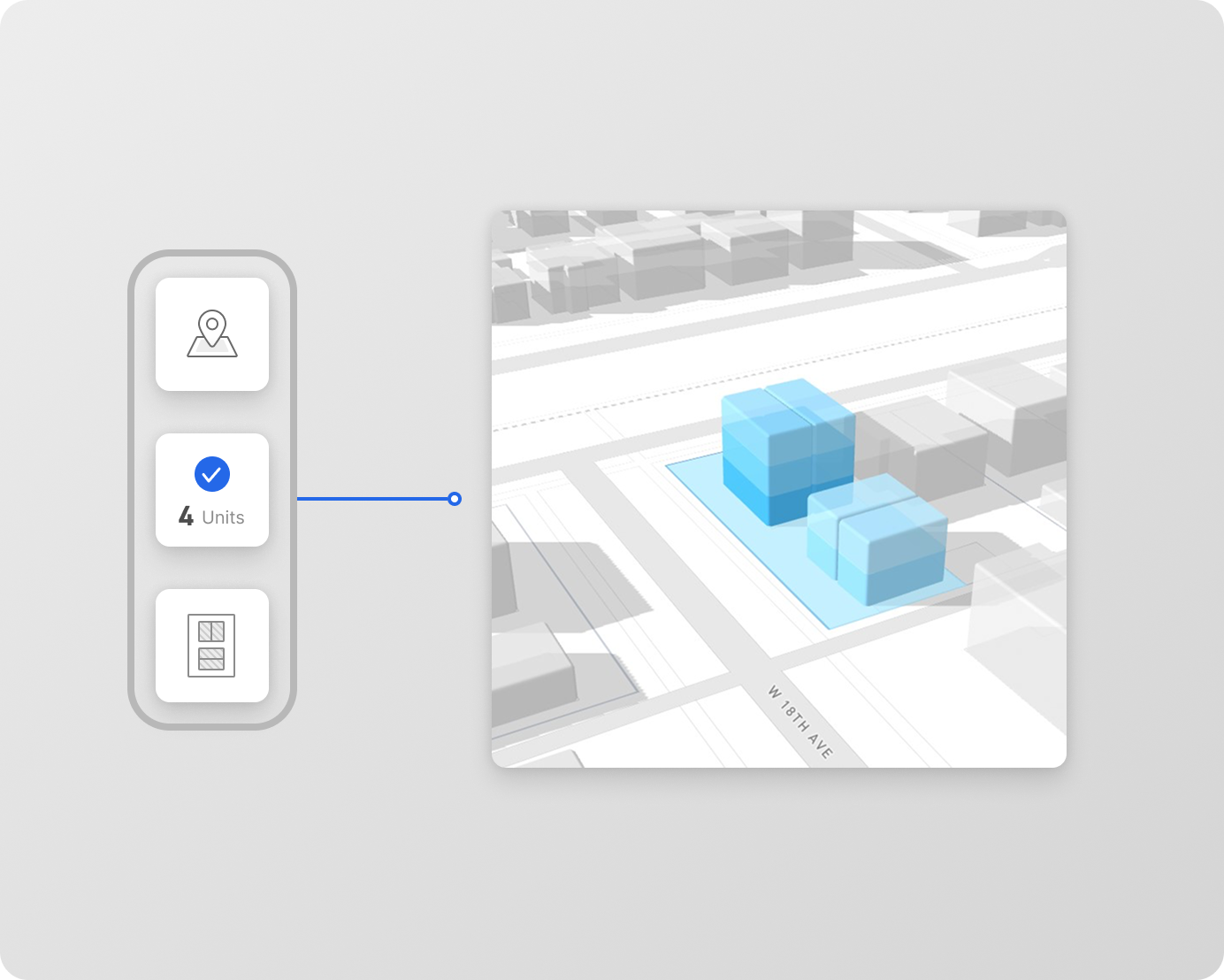
See realistic building capacity and form factors for any lot or block, instantly calculated based on local rules.
Evaluate entire neighborhoods in minutes.
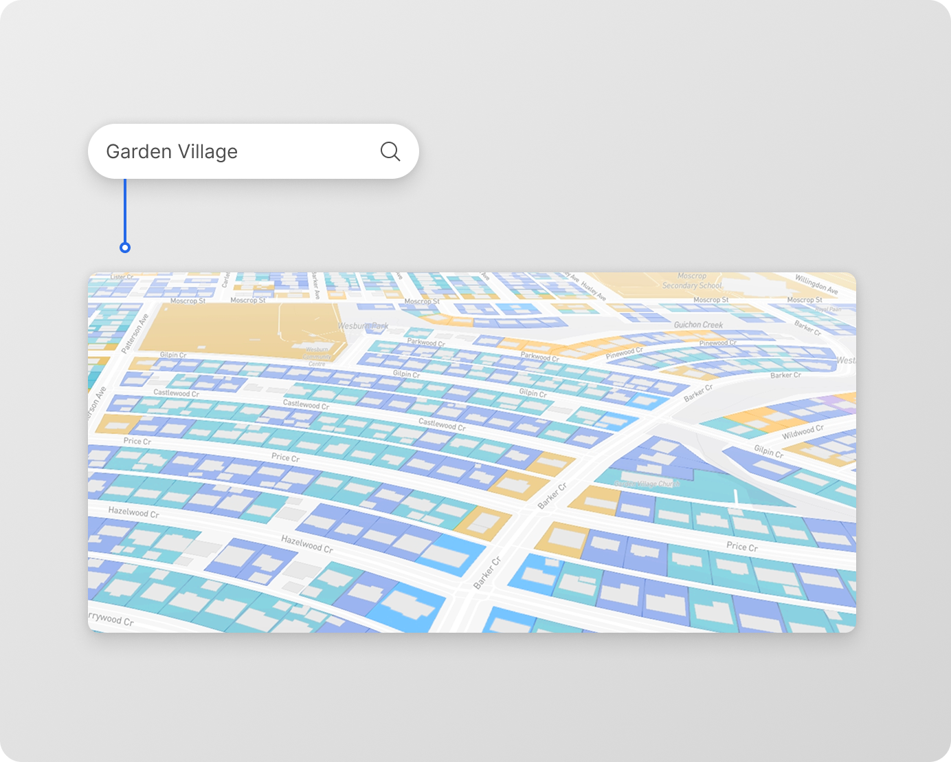
Compare development feasibility, density, and policy alignment across multiple parcels at once to inform district-level planning.
Unlock powerful multi-user tools, project collaboration, and advanced insights tailored for team users.
Everything you need to assess risk, model value, and deliver faster, more accurate decisions.
View local zoning codes, overlays, height limits, and policy incentives—visually layered on the parcel map for instant understanding.
Run instant buildable area and form factor scenarios without manual modeling—based on local FSR, setbacks, and lot constraints.
Compare parcels side by side to assess development feasibility, density alignment, and neighborhood capacity in minutes.


We’ve simplified the most important things you need to know before getting started with UnlockLand.
Yes. UnlockLand layers zoning bylaws, overlays, and incentive areas on a single, interactive map—no need to jump between tools or PDFs.
Absolutely. You can compare development potential, policy alignment, and capacity across multiple parcels side by side.
Yes. You can instantly test how proposed zoning changes or overlays would impact buildability, density, or compliance at the parcel level.
Yes. Planners, transportation teams, and housing analysts can work from the same data source, making policy evaluation and project review faster and more consistent.
Yes. You can explore UnlockLand free for 30 days. Onboarding calls are available exclusively for enterprise teams to ensure smooth setup and collaboration.
Definitely. You can export diagrams, build scenarios, and zoning snapshots for use in staff reports, public consultations, or council presentations.
We help urban planners like you assess zoning, density, and policy fit in seconds.